Last camping trip of 2024 was November 10th to Petit Jean State Park. We reserved sites 48, 50, 51 and 53 back in July to accommodate four trailers for Donna and I, the Parker’s, the Riffey’s and John and Lynda. Sunny and cool, we had great weather for the entire week.
 |
| Sites 48, 50, 51 and 53 |
 Sunday night after getting setup at the campground we drove to Point Remove Brewing Company in Morrilton. We enjoyed some local beers and pizza on the outside patio.After dinner in Morrilton we returned to the campground for an evening around fire at the Parker's trailer.
Monday I took a walk around the campground. I walked down to Lake Bailey and around to the Visitor Center. Near the overflow camping on Lake Baily is the Kayak Kiosk where you can rent a kayak and gear.
 |
| Kayak Kiosk |
 |
| Old Visitor Center |
 |
| New Visitor Center |
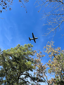
Tuesday we got out to explore around the park. We went to Cedar Falls Overlook where recent rains had made little impact on the quantity of water in Cedar Creek and the falls were almost dry. While there we were buzzed by a C-130 flying low over the mountain right up the Cedar Creek drainage.
 |
| View from Cedar Falls Overlook Toward Mather Lodge and Rental Cabins (Top Left) |
 |
Rental Cabins as seen from the Cedar Falls Overlook
|
 |
| Palisades Overlook Photographed from Red Bluff Drive |
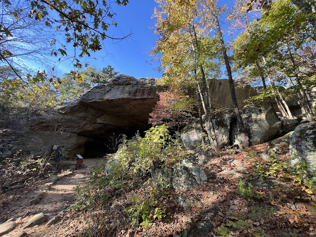
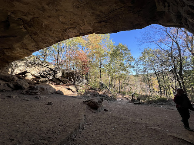
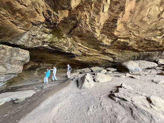
While on the Red Bluff Drive we decided to take a walk down to the Rock House Cave. The cave has Native American pictographs dating up to 2000 years ago. Archeological digs have dated artifacts in the area that suggest native people visited the area as far back as 8000 B.C.
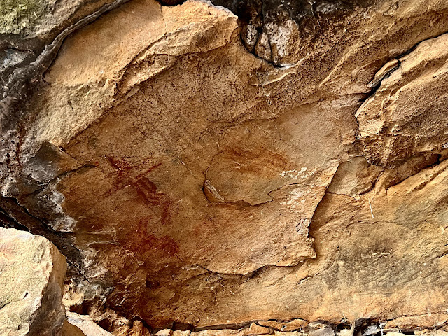 |
| Native American Pictographs |
 |
| Faint Native American Pictographs |
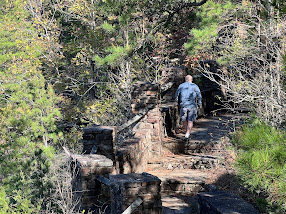
On the hike down to the Rock House Cave you encounter the Turtle Rocks. A rock formation that resembles the shells of turtles covering the hillside.While out exploring the guys took a hike around the Bear Cave Trail. On the Bear Cave Trail you walk under, around, through and over gigantic sandstone boulders high above the Cedar Creek drainage. The rock outcrop is visible from Mather Lodge back steps.
One of the best parts of camping as a group is taking turns doing dinner. Tuesday evening Donna and I made shish kabobs for eight. Donna assembled the kabobs and I cooked them on the campsite charcoal grill.
Directly behind our trailer was a grassy field on the property of Tanyard Springs. During the week we watched numerous deer grazing. One large doe in the heard appeared to be injured.
The last night at the campground we played Boom Again, a 50's, 60's & 70's trivia game. We played boys against the girls and obviously the girls had better memory for trivial things, especially for musical questions. The guys were defeated!


